Rugged GPS Handheld and Satellite Communicator with Garmin TOPO Mapping
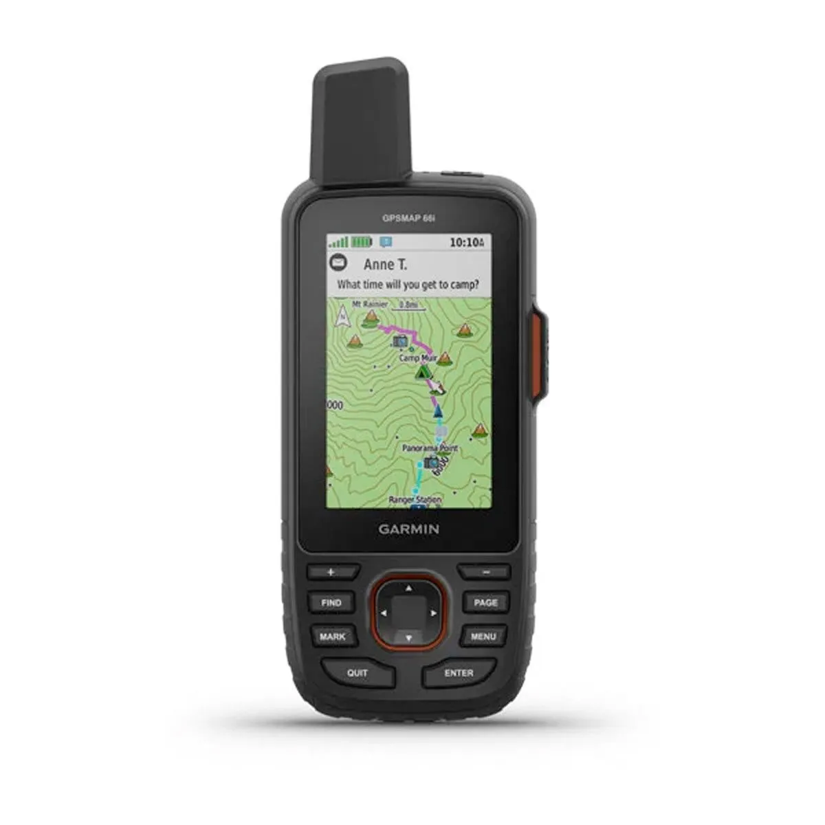
- Large 3” sunlight-readable color display for easy viewing
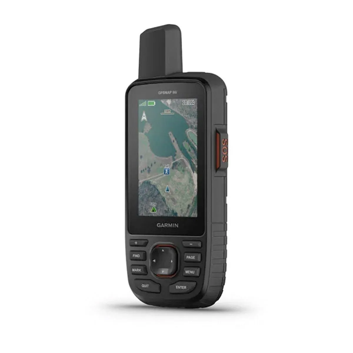
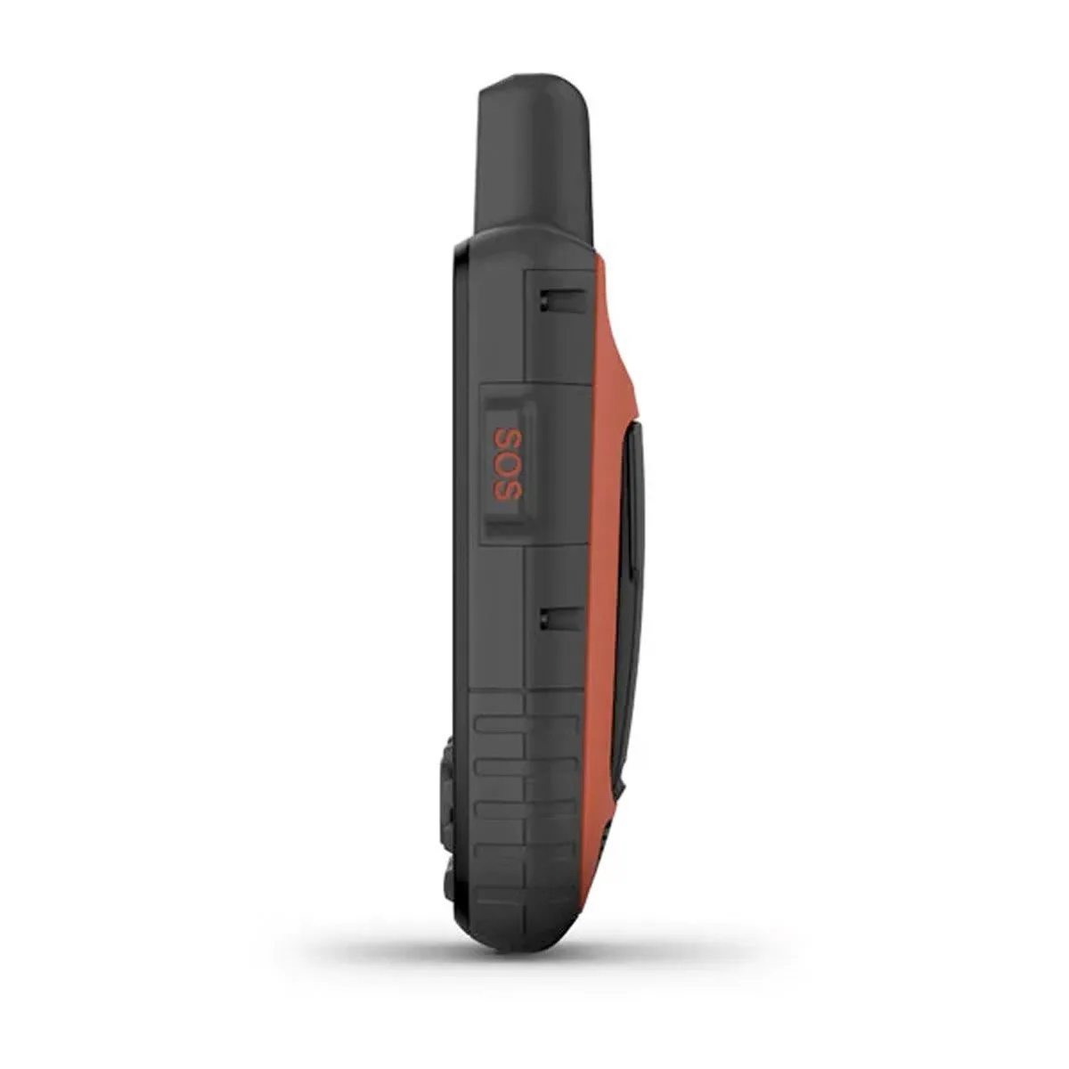
- Trigger an interactive SOS to the GEOS 24/7 search and rescue monitoring center; two-way messaging via the 100% global Iridium® satellite network (satellite subscription required)
- Preloaded Garmin TOPO mapping with direct-to-device BirdsEye Satellite Imagery downloads (no annual subscription); includes multiple Global Navigation Satellite Systems (GNSS) support and navigation sensors
- Cellular connectivity lets you access Active Weather forecasts and Geocaching Live
- Compatible with the Garmin Explore™ website and app to help you manage waypoints, routes, activities and collections, use tracks and review trip data from the field
- Internal, rechargeable lithium battery provides up to 35 hours of battery life in 10-minute tracking mode; 200 hours in Expedition mode with 30-minute tracking intervals
GPSMAP 66 Series
- GPSMAP 66s - Multi-satellite Handheld with Sensors Barometric altimeter & Compass)
- GPSMAP 66st - Multi-satellite Handheld with Sensors and TOPO Maps
- GPSMAP® 66i - GPS Handheld and Satellite Communicator (Inreach Technology) and TOPO Maps
Precise Garmin navigation meets global communication in the GPSMAP 66i premium GPS handheld with inReach® satellite technology.
Built for Tough Treks
The sturdy, button-operated GPSMAP 66i features a large 3” color display you can see even in bright sunlight. If you’re out in the field for long stretches of time, you can turn on Expedition mode and get up to 200 hours of battery life while using inReach technology. In the default tracking mode, you get up to 35 hours of battery life, and your device will save your location every 10 minutes.
Satellite Communication
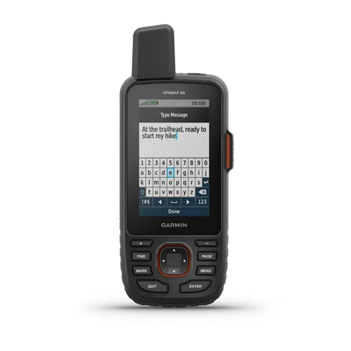
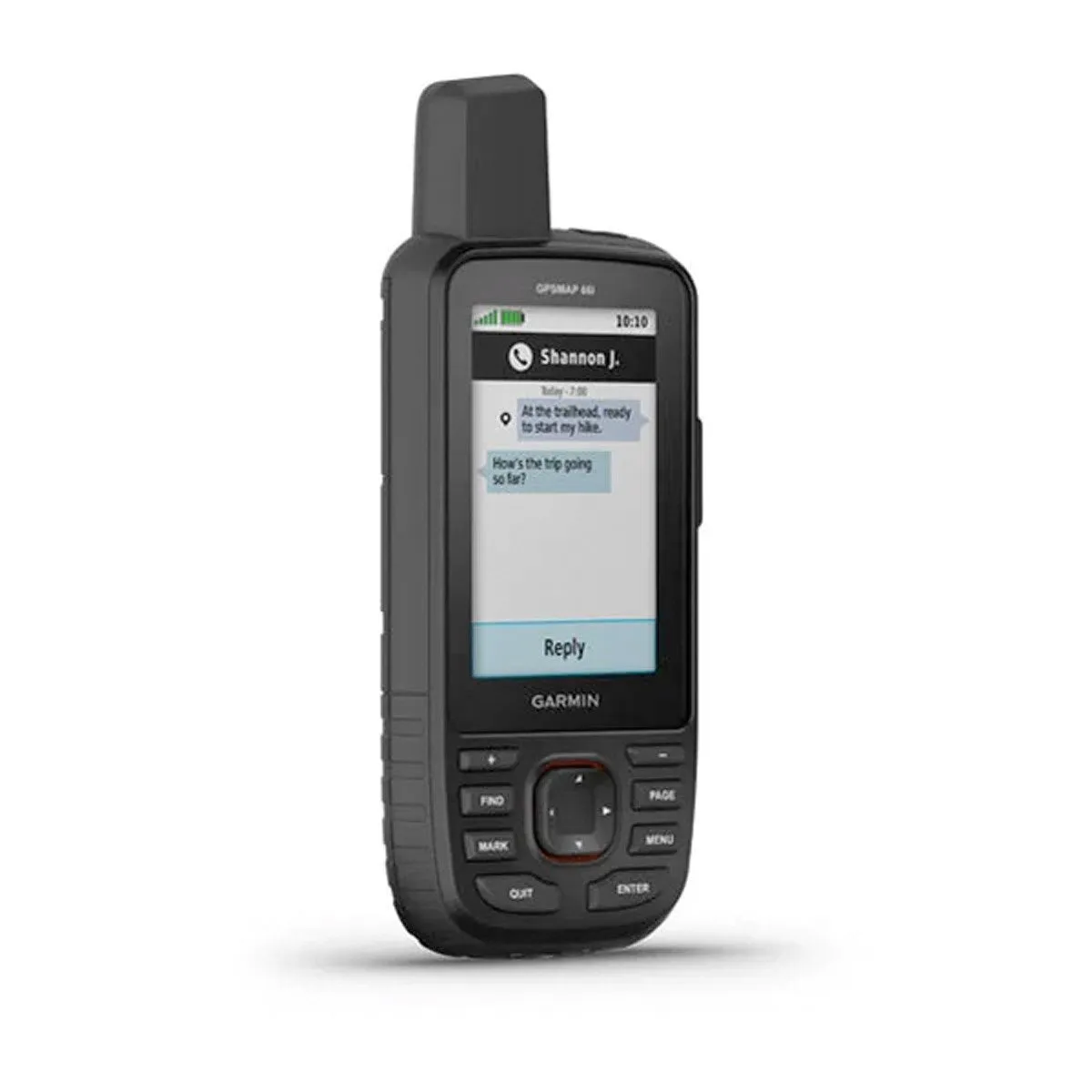
Staying in touch is vital, even on less challenging trips. Using inReach technology (subscription required), this handheld lets you trigger an SOS to the GEOS 24/7 emergency response team for interactive support in an emergency. It also enables two-way messaging and LiveTrack location sharing via the 100% global Iridium satellite network, so you can stay in contact with loved ones, teammates, headquarters and more.
Navigate with Confidence
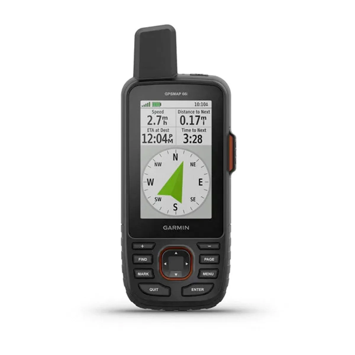
GPSMAP 66i is fitted with the best in Garmin navigation. Preloaded Garmin TOPO mapping provides detailed views of terrain contours, topographic elevations, summits, parks, coastlines, rivers, lakes and geographical points. Direct-to-device downloads of BirdsEye Satellite Imagery provide high-resolution photo-realistic views of your route, trailheads, clearings and more — without an annual subscription. Support for multi-GNSS combined with altimeter, barometer and compass navigation sensors lets you track and navigate in challenging environments.
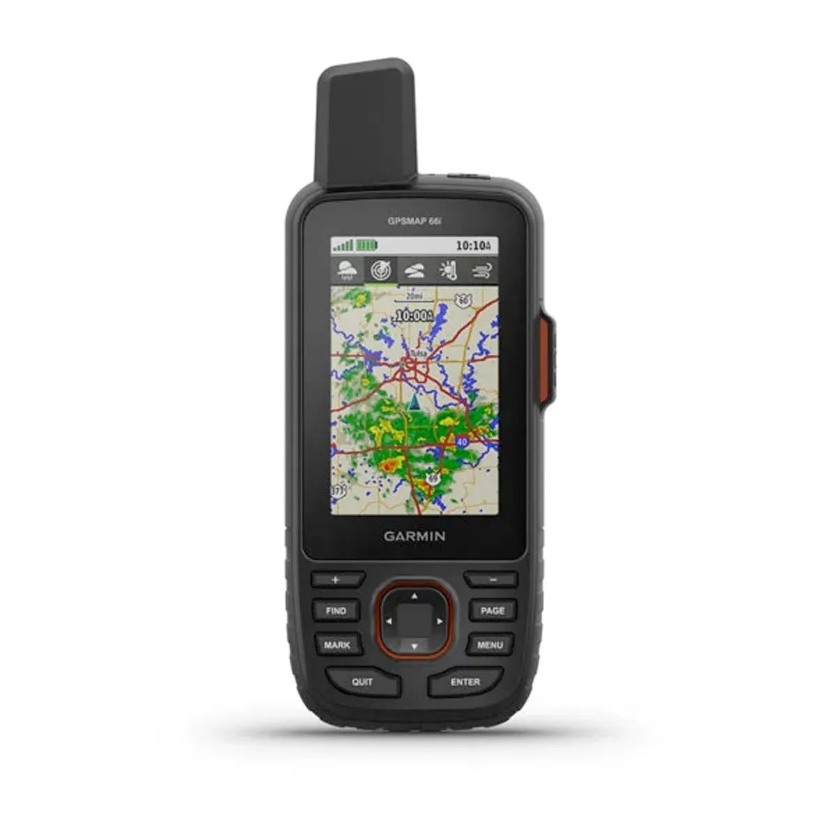
Weather Anywhere
Wireless Cellular connectivity lets you access Active Weather for up-to-date forecasts, including predictive maps for temperature, wind, precipitation and clouds — right on the handheld when connected to Garmin Connect Mobile.
Pair with Your Mobile Device
The free Garmin Explore mobile app lets you plan, review and sync data, including waypoints, routes, activities and collections. Review completed activities while still in the field, even when you’re off the grid. The app also lets you sync your GPSMAP 66i with your compatible mobile device so you can access unlimited maps, aerial imagery and U.S. NOAA charts. You can even use all of the inReach features on your paired mobile device. For easier messaging, you can access your phone’s contact list from the Garmin Explore app to connect with fewer keystrokes. Plan for future trips and review previous activities from the Garmin Explore website.
Some jurisdictions regulate or prohibit the use of satellite communications devices. It is the responsibility of the user to know and follow all applicable laws in the jurisdictions where the device is intended to be used.
Specifications
General
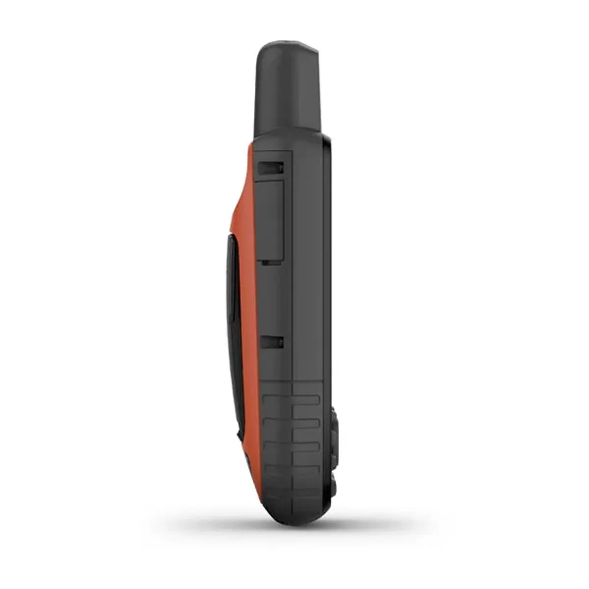
- Physical dimensions 2.6” x 6.4” x 1.4” (6.6 x 16.3 x 3.5 cm)
- Display size 1.5"W x 2.5"H (3.8 x 6.3 cm); 3" diag (7.6 cm)
- Display resolution 240 x 400 pixels
- Display type transflective color TFT
- Weight 8.5 oz (241 g)
- Battery rechargeable, internal lithium-ion
- Battery life up to 35 hours at 10-minute tracking; up to 200 hours at 30-minute tracking (power save mode)
- Water rating IPX7
- Memory/History 16 GB
- High-sensitivity receiver
- Interface high-speed USB and NMEA 0183 compatible
Maps & Memory
- Preloaded maps yes (topographic)
- Ability to add maps
- Basemap
- Storage and Power Capacity microSD™ card (not included)
- Waypoints/favorites/locations 10000
- Routes 250
- Track log 20,000 points, 250 saved gpx tracks, 300 saved fit activities
Sensors
- Barometric altimeter
- Compass Yes (tilt-compensated 3-axis)
Outdoor Recreation Features
- Area calculation
- Automatic routing (turn by turn routing on roads)
- Geocaching-friendly Yes (Paperless)
- Custom maps compatible
- Hunt/fish calendar
- Sun and moon information
- Picture viewer
Garmin Connect™
- Garmin Connect™ compatible (online community where you analyze, categorize and share data)
Additional
- Trigger an interactive SOS with 24/7 search and rescue monitoring centre: yes
- Send and receive text messages to SMS and email: yes
- Send and receive messages with other inReach® users, exchange locations: yes
- Track and share location with friends and family on web-based MapShare® portal: yes
- Virtual keyboard for custom text messaging: yes
- Garmin Explore™ compatible: yes
- Garmin Connect™ IQ compatible: yes
- Wireless compatible: yes (Wi-Fi®, BLUETOOTH® and ANT ®)
- Map segments: 15,000
- Active weather: yes
- Request weather forecasts for current location and planned destination: yes
- Smart Notifications: yes
- Live Tracking: yes (with Garmin Explore)
- BirdsEye direct to the device: yes (no annual subscription required)
- MIL STD 810G ruggedness for thermal, shock and water performance
- RINEX Logging: yes


