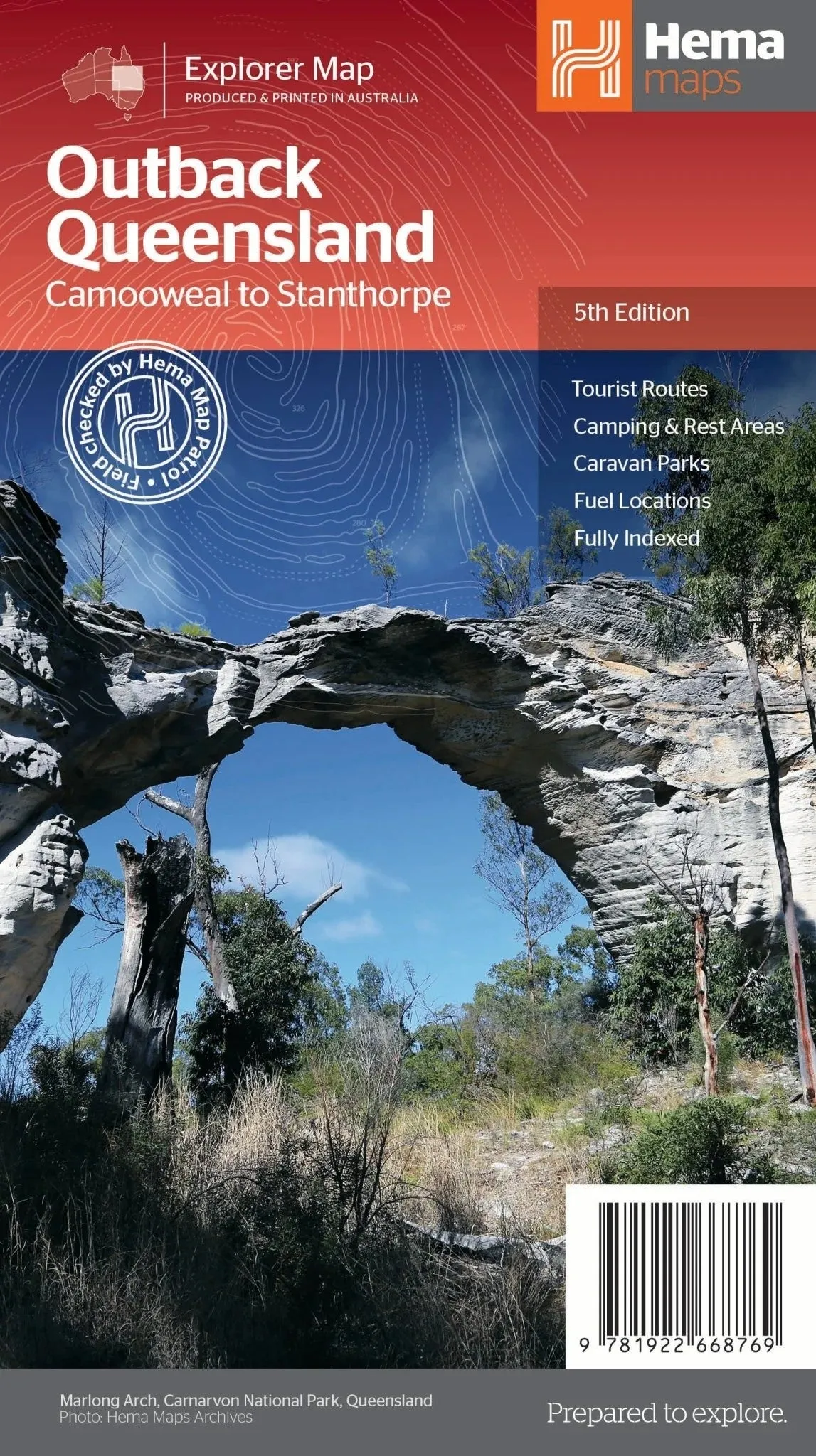
Hema’s Outback Queensland Map (Edition 5)
Discover the vast and iconic landscapes of Outback Queensland with Hema Maps’ latest edition of the Outback Queensland Map. This map provides comprehensive coverage and visitor information for one of Australia’s most cherished regions, making it an essential guide for travellers and adventurers.
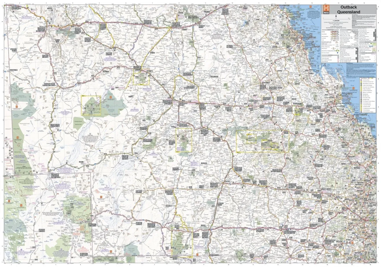
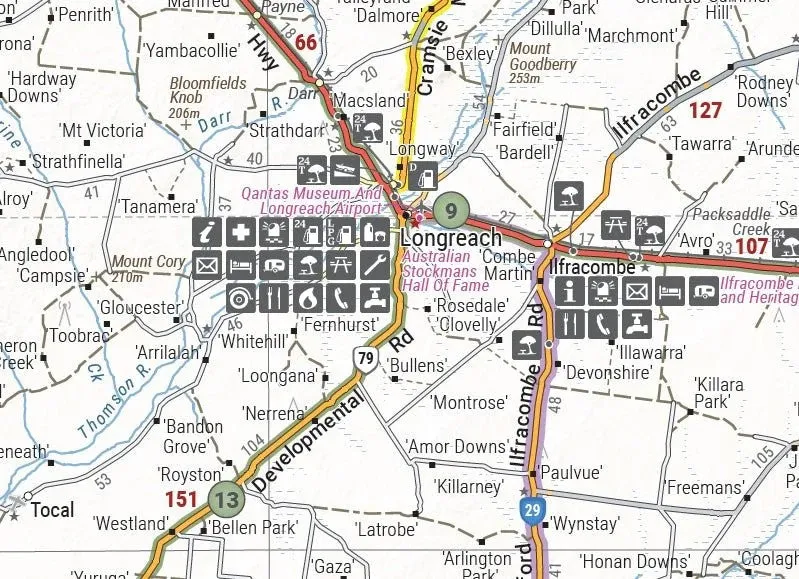
The map features a 1:1,500,000 scale that stretches from Queensland’s inland borders to Toowoomba in the east and Charters Towers in the north. With hill shading and elevation tinting, the map offers a realistic representation of the region’s diverse landscapes. Marked points of interest, camping areas, caravan parks, fuel stops, and key touring routes ensure you have everything you need for a seamless journey.
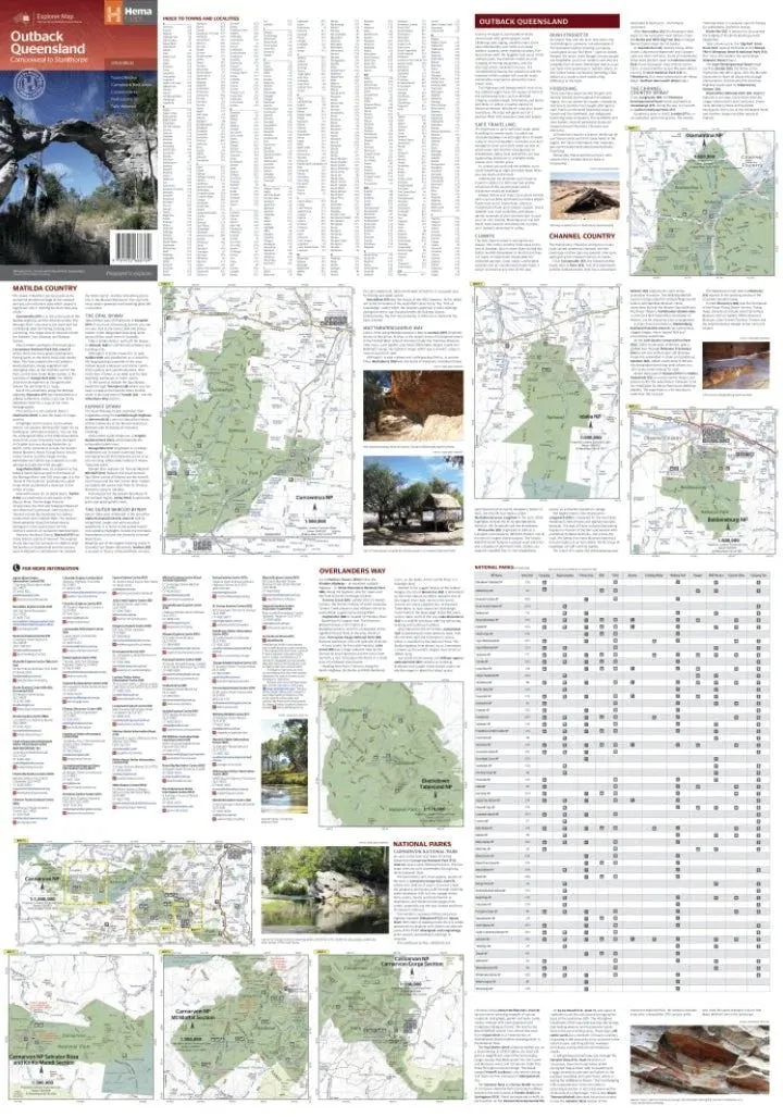
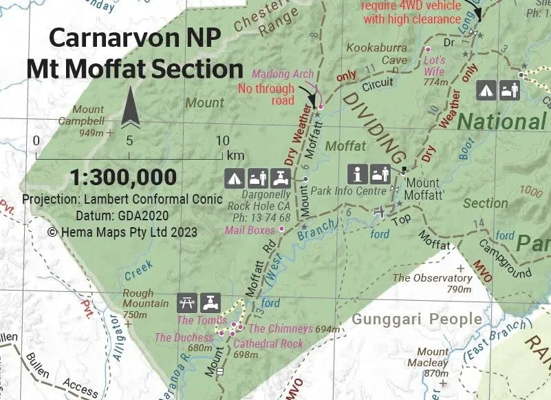
Detailed visitor information accompanies the map, focusing on the Channel Country, Matilda Country, and Overlanders Way. Additional maps of Bladensburg, Idalia, Currawinya, Diamantina, and Carnarvon Gorge national parks provide further guidance for exploring Queensland’s natural wonders.
Key Features
- GPS-surveyed roads and tracks
- Detailed national park maps
- Marked camping areas and fuel stops
- Highlights key touring routes
- Visitor information for Channel Country, Matilda Country, and Overlanders Way
- Town and locality index with contact details
Specifications
- Edition: 5th
- Publication Date: 30 May 2023
- Scale: 1:1,500,000
- Folded Size: 140mm x 250mm x 3mm
- Flat Size: 700mm x 1000mm
- Weight: 0.09 kg
Renowned for its quality and accuracy, Hema Maps provides the ultimate resource for exploring Outback Queensland. From the rugged Channel Country to the scenic Carnarvon Gorge, this map is your perfect companion for an unforgettable adventure.

")


